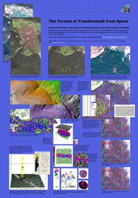
LandConsult Header Welcome!   Today is 27.03.2023.   The local German time is 19:02:48. 

[Search]   [Intro]   [AboutUs]   [3DForest]   [WorkDemo]   [lcgis.de]   [ContactUs]


ProSilva FlashPoster: "Forests of Freudenstadt from Space - Forest and Individual Tree Taxation with Satellite Imagery and Laser Scanning Technology".

Click here to download and open the the 2 MB big poster in a new window (download may take a few seconds).

Please note: when you click the right mouse button over the new window, the Flash navigation menu will open and you can use it to zoom ("zoom" or "vergrößern") and move the poster ("forward" or "vorwärts").

. . . .

Other LiDAR/Satellite/CIR Presentations

Gallery with figures of the above shown ProSilva poster


landConsult