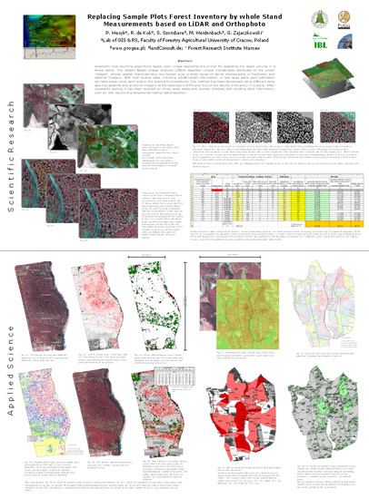
ForestSat Poster Presentation: "Replacing Sample Plot Forest Inventory by whole Stand Measurements based on LiDAR and Orthophoto". Poster presented on the ForestSat 2007 Conference in Montpellier, France.
Click here to download and open the the 5 MB big poster in a new window (download may take a few seconds).
. . . .
Download A0 Print Version (PDF, 5 MB)
Download Abstract (PDF)